2003
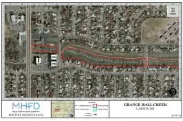
The District begins using GIS for the routine maintenance program, moving away from the standard library of aerial images that were previously used.

The District begins using GIS for the routine maintenance program, moving away from the standard library of aerial images that were previously used.