
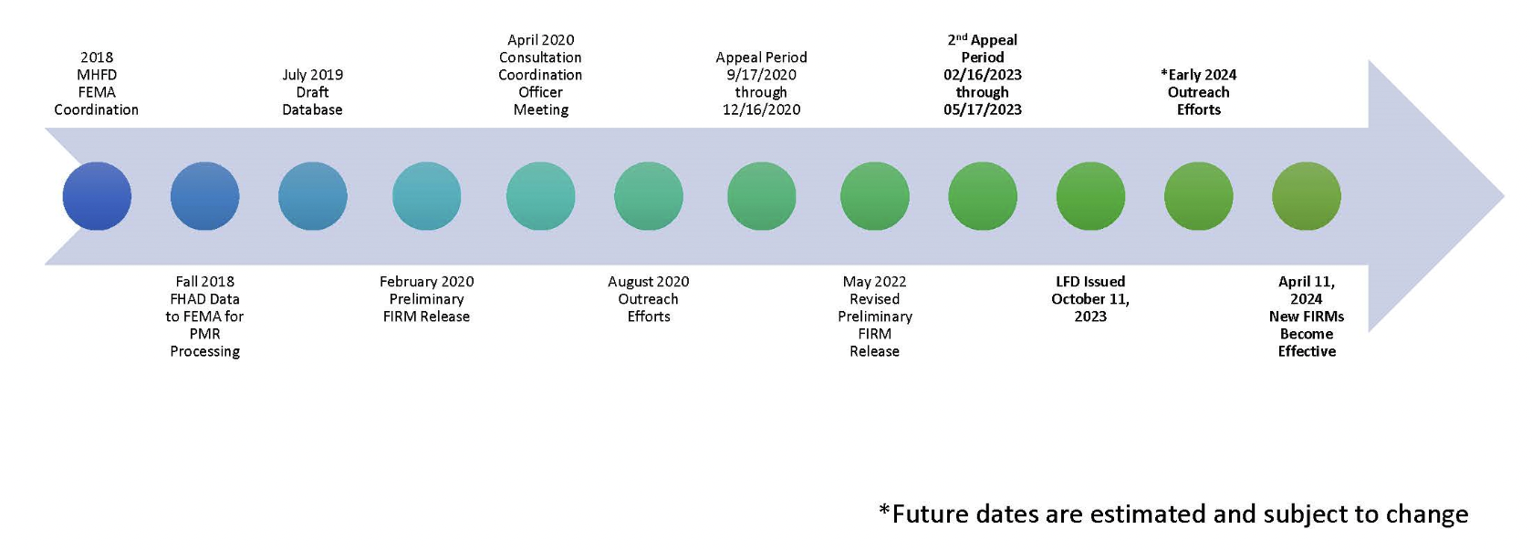
2018 Arapahoe County PMR
Revised Floodplain Mapping became Effective on April 11, 2024

Getting the Flood Hazard Area Delineation (FHAD) information on the Flood Insurance Rate Maps (FIRMs) helps residents and business owners make informed decisions about personal safety and protecting financial assets. Having current flood mapping also allows community planners, local officials, engineers, builders and others to make determinations about where and how new structures, subdivisions, developments, and redevelopments should be built to reduce risk of flood damage
Preliminary Mapping Revisions
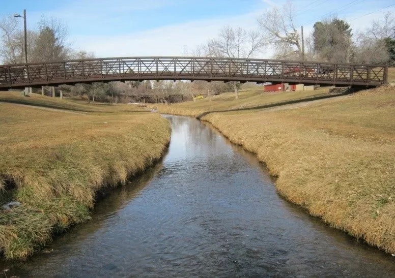
Big Dry Creek FHAD
Estimate Project Timeline (subject to change)
Have more questions?
Your community Floodplain Administrator is the best source of information about flood risk.
Arapahoe County
Mr. Chuck Haskins
chaskins@arapahoegov.com
720-874-6500
City of Littleton
Sarah White
swhite@littletongov.org
303-795-3836
City of Centennial
Cynthia Love
clove@semswa.org
303-858-8844
City of Englewood
Tim Hoos
THoos@englewoodco.gov
303-762-2503
City of Greenwood Village
Cayla Cappello
ccappello@greenwoodvillage.com
303-486-5784