October 7, 2022
Written by Brooke Seymour, Planning and Floodplain Management Director
Having spent most of my early career working within the District, I had mistakenly thought that using hydrology based on fully developed land-use for floodplain mapping was standard practice nationwide. I’ve since learned that the practice is unique and has greatly helped strengthen our region’s resilience.
In 1999, Mile High Flood District (MHFD) entered into an agreement with FEMA that allows mapping the Special Flood Hazard Area (SFHA) based on projected future land-use (fully developed) hydrology. Prior to this agreement, District floodplain studies based on future land-use hydrology were mapped as approximate Zone A since this approach did not align with FEMA’s standards. (This is why there are so many older model-backed Zone A floodplains within the District.) Let’s take a closer look at why the District uses future land use hydrology.
Challenge
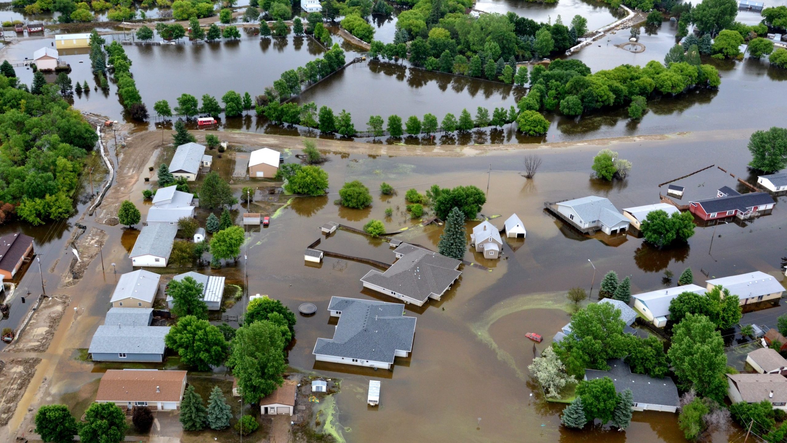
Development increases runoff and mapping flood risk based on current land-use hydrology does not account for how future changes in land-use will impact the extent of the floodplain, placing more areas at risk of future flooding.
Solution
Since development within the MHFD region is quickly expanding and becoming denser, it is important to account for the anticipated increase in runoff from future development when identifying flood hazards. The District locally manages flood risk based on future projected development of watersheds and has an agreement with FEMA allowing future land-use conditions hydrology to be used for mapping the SFHA on Flood Insurance Rate Maps (FIRMs), as long as the one-percent annual-chance (aka 100-year) peak flow for future land-use conditions is less than 130% of the peak flows for existing land-use conditions.
Outcome
- The mapped flood risk based on future land-use hydrology can guide development, redevelopment and public infrastructure projects to include better protection from future flood events.
- The flood risk identified is independent of the sequencing of development within the watershed. With flood risk based on future land-use hydrology, downstream properties build with the ultimate regulatory flood risk in mind and avoid an adverse change in flood risk as upstream properties develop.
- Using future land-use hydrology limits mapping revisions necessary to reflect incremental changes in hydrology as development occurs in the watershed.
- Property owners that are located within the SFHA based on future land-use hydrology but are situated outside of the SFHA based on existing hydrology, will have more flood risk awareness and be more likely to have flood insurance to assist with flood recovery.
Lessons Learned
- For watersheds that are not fully built-out, both existing and future land-use conditions hydrology must be analyzed to confirm that future conditions hydrology is less than 130% of existing conditions.
- If future land-use hydrology is more than 130% of existing, then the future land-use floodplain can be mapped as Future Conditions 1% Annual Chance Flood Hazard either in place of or in addition to the 0.2% Annual Chance Flood Hazard [Zone X (shaded)] at the communities’ request.
- If both future and existing land-use flood risks are mapped, communities are encouraged to use the future land-use hydrology flood risk areas for regulation and development guidance.
Conclusion
Mapping the flood risk based on future land use hydrology improves public safety and helps reduce the cost of recovery following flood events. It also decreases the potential for existing development to experience increased flood risk as upstream development occurs. This is a local higher standard that improves resilience for our region, and promotes FEMA’s Risk MAP goals of advancing action, identifying actions and increasing awareness.
Back to Blog