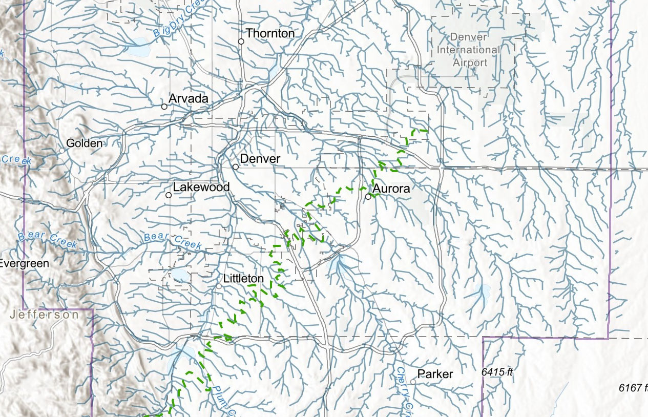
MHFD Confluence is the web application to view everything that is the Mile High Flood District including floodplain delineations, project/study limits, master-planned improvements, dam safety information, stream maintenance activities, maintenance eligibility status, boundaries, recent aerial imagery, and so much more.