Drawing of urban stream

The Importance of the USAP

MHFD uses the USAP to determine stream function within an urban stream context and to evaluate planning priorities and project alternatives to ensure we are implementing the best projects to protect people, property, and our environment. The goal of the USAP is two-fold:

1. Provide repeatable, consistent, and defensible methods to assess the physical condition of urban streams.

2. Provide a tool that supports planning and design teams in identifying and prioritizing the highest functioning system(s) with the lowest long-term maintenance effort(s), given the watershed or stream context.

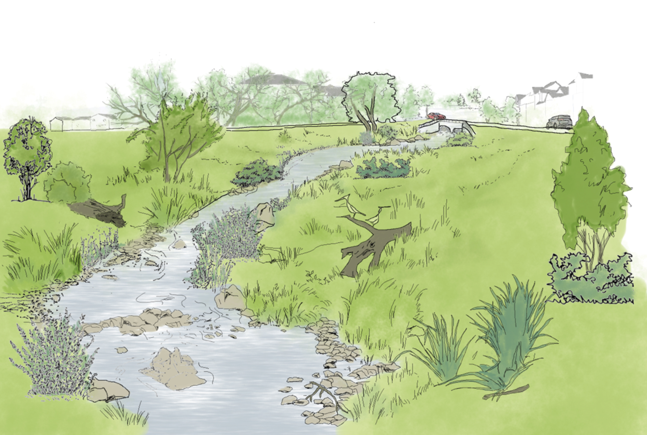
USAP provides a structure that embraces the complexities inherent in urban streams by integrating community values (such as health and wellness, public safety, and recreation) with physical elements (including flow regime, geomorphic processes, and vegetation structure). These features allow USAP to be a consistent approach to evaluating urban watersheds and streams.

USAP Overview

MHFD developed USAP to improve planning and stream management in our urban systems by using integrated methods and robust data collection and evaluation techniques. USAP has several defining features that make it well-suited for in our urban environment. Among these features are:

  • A multi-scale approach that can be applied from watershed-scale planning to stream-reach design alternatives.
  • A focus on the physical conditions of urban streams and on the forms and processes that create them.
  • A framework that recognizes community values associated with our waterways and how they affect stream management.
  • A tailored approach to assessing each stream in its unique context to guide realistic and effective management.

USAP leverages repeatable methods (desktop analysis, rapid and intensive field data collection) and easily interpretable results through data inventory and evaluation at the watershed, stream corridor, and reach scales.

The data and results we generate help promote an understanding of community values, as well as the hydrologic, hydraulic, geomorphic, and vegetation processes foundational to urban streams (i.e., the Five Elements). In addition to describing the stream’s current community values and physical condition, the results also identify the hazard risks, problem areas, and maintenance requirements, which provide a baseline for future improvements. Finally, USAP allows us to document the positive improvements of our project following implementation.

USAP’s Steps and Associated Tasks

The roadmap to USAP’s assessment framework can be subdivided into two sections: what is assessed and how it is assessed–in the context of the Five Elements. Thus, implementing USAP across the watershed, corridor, or reach scales, requires applying methods separated into three steps as shown below.

Step 1

Characterization of Watershed or Stream

1a. Data discovery and literature review

1b. Geospatial mapping

1c. Prioritize data, determine data gaps

1d. Context and stressors

1e. Stream character via reach types

Step 2

Assessment of Current Conditions

2a. Define indicators

2b. Choose metrics, measurements, and methods

2c. Identify scoring guidelines (functional characteristics)

2d. Perform assessment (collect and evaluate data)

2e. Condition interpretation tables and photos/mapping

2f. Metric and indicator scoring

Step 3

Diagnostics, Analyses, and Mapping

3a. Stream condition diagnosis

3b. Limiting factors and stressors analysis

3c. Problem/reach identification

3d. Mapping and data visualization

USAP’s Indicators and Metrics

USAP includes 16 indicators that influence stream condition, which together cover the spectrum of USAP’s five elements. For each indicator, various metrics, detailed in the resource file below, measure features or attributes that identify the functional status of a particular indicator (e.g., fully functional, functional, not functional).

Community Values

Hydrologic Processes

Hydraulic Characteristics

Geomorphic Forms & Processes

Vegetation Structure & Processes

Access to Nature

Runoff Production

Flood Hazards

Sediment Regime

Flood Conveyance

Vitality

Flow Regime

Flow Conveyance

Stability

Dynamic Stability

Economics

Floodplain Connectivity

Morphology

Resiliency

Stewardship

Adaptability

Contact Us

We’re always happy to answer any questions or foster conversations with the residents we serve or the contractors we partner with.

Back to Top

mainstage-mask2