It’s Flood Season! Click here to view our rainfall map

Future Denver County PMR

Getting the Flood Hazard Area Delineation (FHAD) information on the Flood Insurance Rate Maps (FIRMs) helps residents and business owners make informed decisions about personal safety and protecting financial assets. Having current flood mapping also allows community planners, local officials, engineers, builders and others to make determinations about where and how new structures, subdivisions, developments, and redevelopments should be built to reduce risk of flood damage.

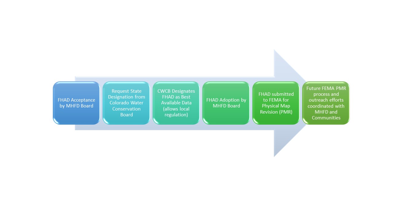
Flood Hazard Area Delineation (FHAD) to Physical Map Revision (PMR) Process

Have more questions?

Your community Floodplain Administrator is the best source of information about flood risk.

City and County of Denver
Jeremy Hamer
jeremy.hamer@denvergov.org
720-913-0720

Back to Top

mainstage-mask2