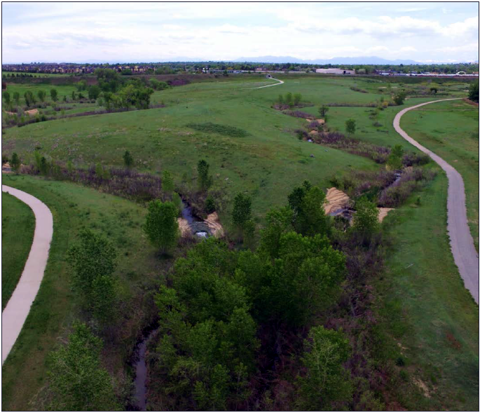
2018 Denver County PMRs

Revised Floodplain Mapping will become Effective on July 3, 2024

MHFD will be hosting a virtual open house to discuss the map revisions and what they mean for property owners on Wednesday, May 15th at 5:00 pm. Sign up to attend the virtual meeting here:

SIGN UP

Un nuevo mapa de las áreas con riesgo de inundación en su comunidad entrará en efecto el 3 de Julio del 2024

MHFD organizará una reunión pública virtual el día 15 de Mayo del 2024 a las 5:00 pm para discutir los cambios del nuevo mapa de riego de inundación y explicar lo que significa para los propietarios afectados. Desafortunadamente, no contaremos con la presencia de un intérprete en español durante la reunión, pero proveeremos una grabación subtitulada en español antes del 30 de Julio del 2024.

Regístrese para participar en la reunión pública virtual y para poder recibir un anuncio cuando la versión en español este disponible. También puede visitar nuestro sitio web para obtener la información más reciente.

Regístrese Aquí

Documentos en español

Carta de Revisión de Mapas (LOMR) vs Apelación

Mapeo de Inundaciones – TÉRMINOS Y DEFINICIONES


Grange Hall Creek

Getting the Flood Hazard Area Delineation (FHAD) information on the Flood Insurance Rate Maps (FIRMs) helps residents and business owners make informed decisions about personal safety and protecting financial assets. Having current flood mapping also allows community planners, local officials, engineers, builders and others to make determinations about where and how new structures, subdivisions, developments, and redevelopments should be built to reduce risk of flood damage.

PRELIMINARY MAPPING REVISIONS

FHAD

Getting the Flood Hazard Area Delineation (FHAD) information on the Flood Insurance Rate Maps (FIRMs) helps residents and business owners make informed decisions about personal safety and protecting financial assets. Having current flood mapping also allows community planners, local officials, engineers, builders and others to make determinations about where and how new structures, subdivisions, developments, and redevelopments should be built to reduce risk of flood damage.

Estimate Project Timeline (subject to change)

Have more questions?

Your community Floodplain Administrator is the best source of information about flood risk.

City and County of Denver
Mr. Jeremy Hamer
jeremy.hamer@denvergov.org
720-913-0720

Back to Top

mainstage-mask2